China from above
Share - WeChat

 |
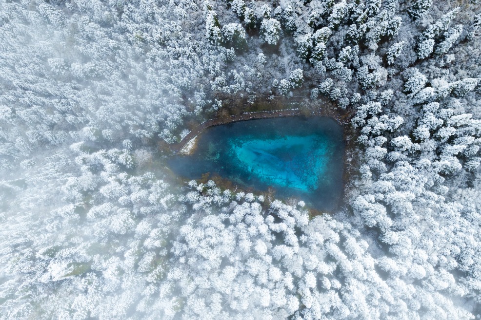
| A photo shows a basin and a hill inside it forming what appears to be the image of a "leaf" in Zhonghe township in Chuxiong, Yunnan province. The photo was taken by a remote sensing satellite from more than 400 kilometers above the Earth. [Photo/Xinhua] |
- Nation marks 80th anniversary of Taiwan's restoration amid calls for reunification
- Xinjiang's Tacheng secures 10bn yuan boost for modern industrial projects
- Tianjin leads nation in geothermal energy use
- Golden Melody Awards celebrate rich cultural heritage of Hokkien music
- Jiangmen terminates Level III Chikungunya emergency response
- Civil aviation sector shows growth with release of upcoming flight season


