China receives data from three Gaofen 1 satellites


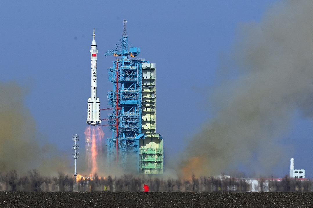
BEIJING — China Wednesday received the first package of data from the three high-resolution Gaofen 1 satellites launched on March 31, according to the Institute of Remote Sensing and Digital Earth of the Chinese Academy of Sciences.
The package of data with a total size of 166.31 gigabytes was received by the remote sensing satellite ground station in Miyun on the outskirts of Beijing.
Ground stations in South China's Sanya and Northwest China's Kashgar all received real time image data from the satellites.
The three satellites form a constellation and will be used in fields such as land and resources surveys, disaster monitoring, emergency response, environmental protection and agriculture.
The satellites, developed by China Aerospace Science and Technology Corporation, have a designed life of six years.
Ground stations in Miyun, Kashgar, Sanya, Kunming, as well as one in the Arctic, are responsible for receiving the data.


- China urges Japan to punish perpetrators of attack on Taiwan compatriots
- New soccer pitch inspires girls at Ningxia primary school
- The wall of silver cups: A tribute to courage and gratitude
- Chinese scientists develop artificial tongue to measure spiciness
- Lai's actions reveal flattery of Japan and betrayal of Taiwan, mainland says
- Tsinghua introduces comprehensive framework for AI use in education