Chinese researchers map paleoclimate changes of Yangtze River source region


BEIJING -- Chinese researchers have developed indexes tracking the paleoclimate changes over the past 13,000 years in the source region of the Yangtze River.
The Third Pole, covering the Qinghai-Tibet Plateau and its surrounding areas, is witnessing intense global warming.
The plateau's climate change characteristics vary by location due to differing circulation systems: Asian summer monsoons and mid-latitude westerly winds.
The researchers collected multi-indicator data from lake core sediment in the central region of the Qinghai-Tibet Plateau, and developed a high-resolution record of the climate changes and monsoon effects in the source region of the Yangtze River over the last 13,000 years.
They distinguished four stages of paleoclimate change over the 13,000 years since the Last Glacial Period: relatively cold during the Last Glacial Period, warm and wet conditions in the early Holocene, cool and dry conditions in the mid and late Holocene, and an increasingly warm and wet trend over the last 2,000 years.
Furthermore, paleoclimate changes were forced by solar insolation with superimposed westerly wind effects and meltwater, according to the research article published in the journal Palaeogeography, Palaeoclimatology, Palaeoecology.
- China's rail freight volume up 3.4 pct in Jan-Sept
- Revised policies boost Guangdong women's rights in digital era
- Greener maritime equipment key to industry's future, experts say
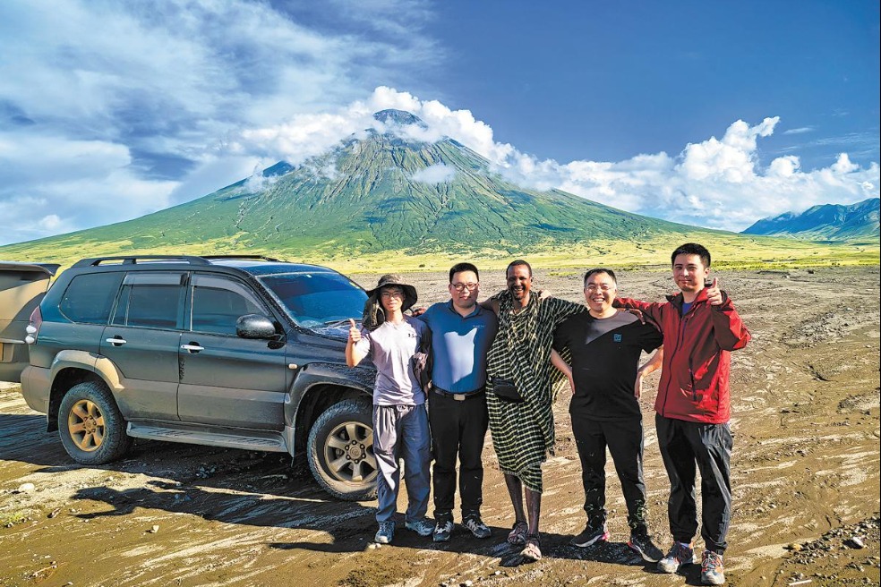
- A 51-year-old Maasai with a thirst for knowledge
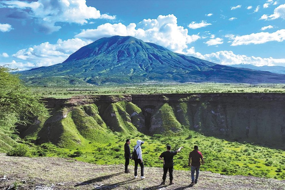
- Global geopark in Tanzania revived with Chinese aid
- Support bases make life easier for field geophysical workers